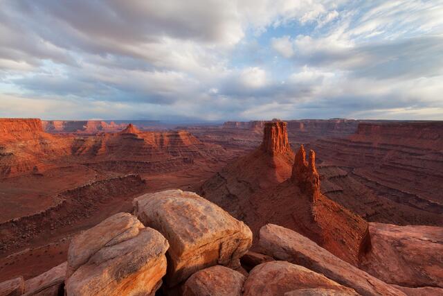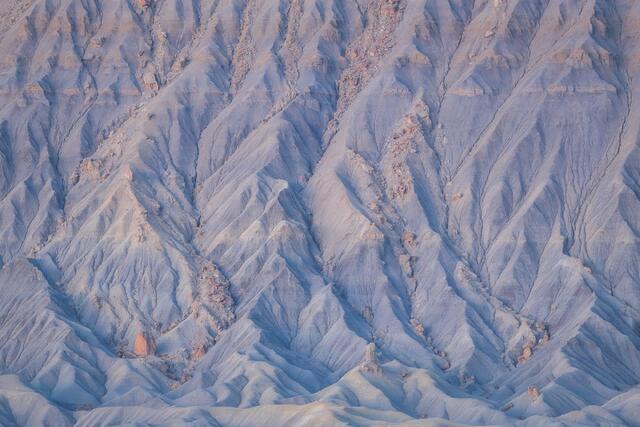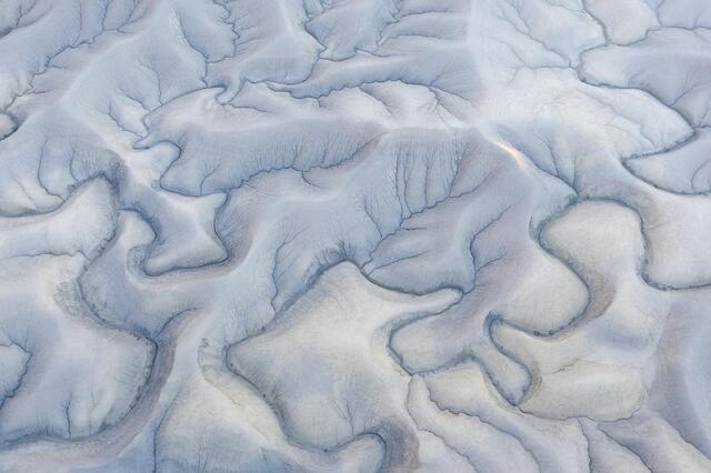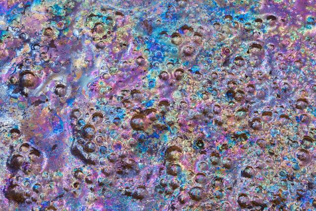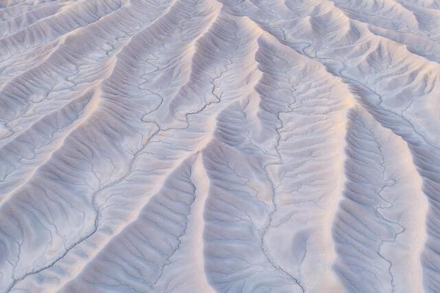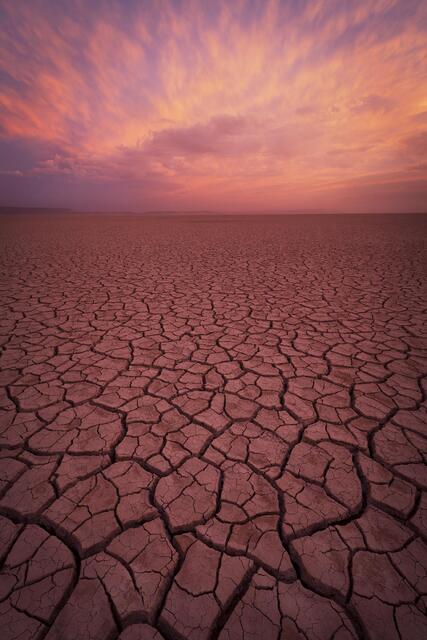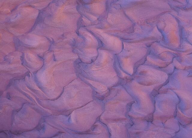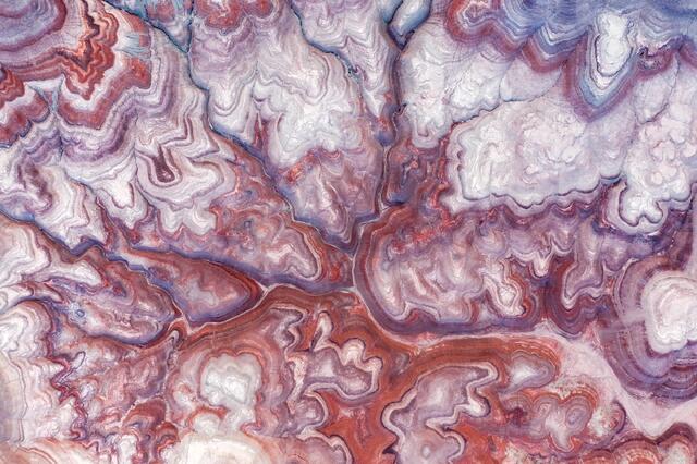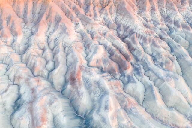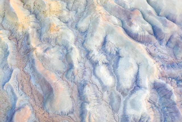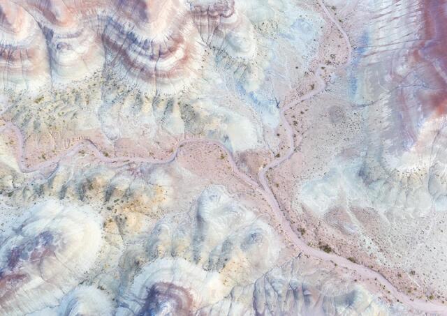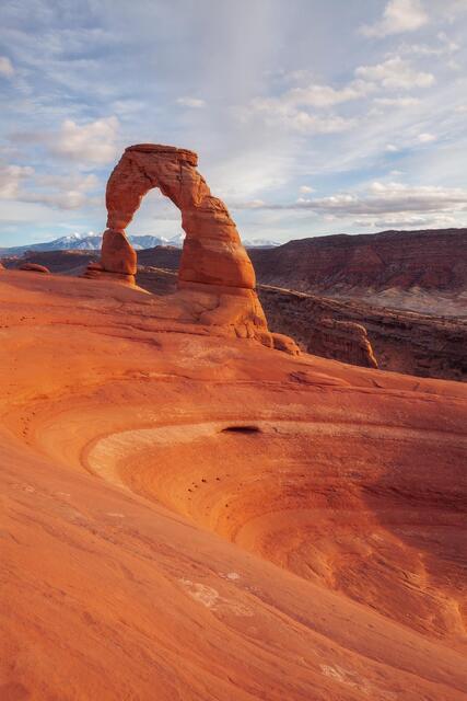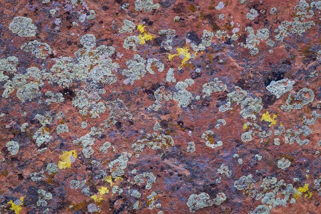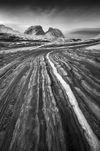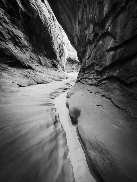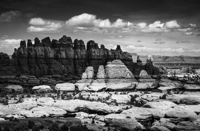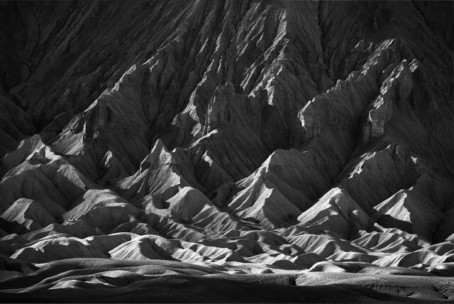
This gallery features photos from the Colorado Plateau (except for Zion National Park #1 and #2). This region encompasses about 150,000 square miles of land mostly around the Four Corners Region of Arizona, Utah, Colorado, and New Mexico. Known for its landscapes comprised of sedimentary rocks like sandstones, limestones, and shales that take on many different geographic forms, the Colorado Plateau has been shaped by the erosive forces of water and wind. With many high plateaus, extensive canyon systems, and mountain peaks spanning a huge range of elevations, this diverse landscape holds a lifetime’s worth of places to explore.
Photo locations include Canyonlands National Park, Arches National Park, Capitol Reef National Park and the surrounding landscape, famous and less famous slot canyons, the San Rafael Swell region, Vermilion Cliffs National Monument, and Petrified Forest National Park.